 THE UNIVERSITY OF CHICAGO


We think spatially about research problems: We develop state-of-the-art methods for geospatial analysis; implement them through open source software tools; apply them to policy-relevant research in the social sciences; and disseminate them through education and support to a growing worldwide community of over half a million spatial analysts. Locally, we are building a spatial community at the University of Chicago.
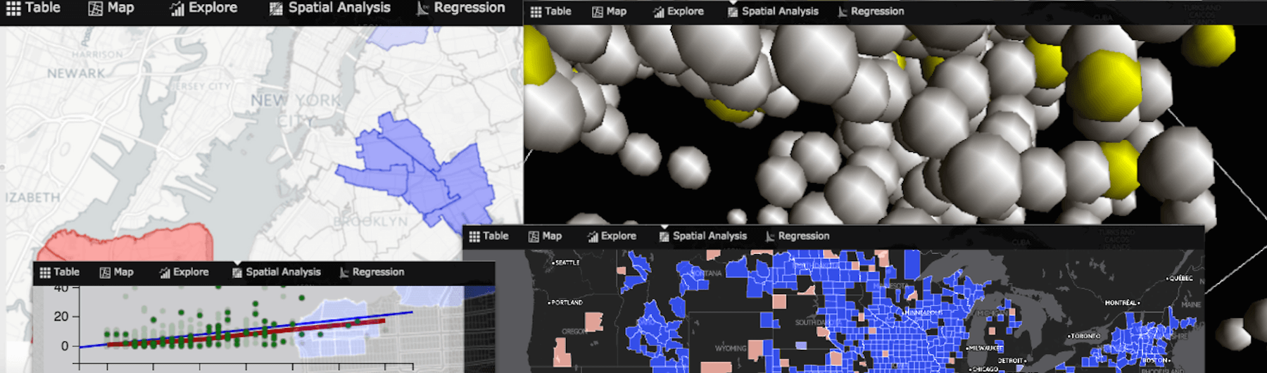
Spatial data science can be viewed as a subset of generic "data science" that focuses on the special characteristics of spatial data, i.e., the importance of "where." It treats location, distance, and spatial interaction as core aspects of the data and employs specialized methods and software to store, retrieve, explore, analyze, visualize and learn from such data. In this sense, spatial data science relates to data science as spatial statistics to statistics, spatial databases to databases, & geocomputation to computation (Anselin, 2019).
Our Impact on Students

"Learning to think spatially and undertaking spatial analysis techniques has opened a whole new world for me, linking macro-meso-micro levels computationally, allowing me to bridge global issues to individuals’ and neighborhoods’ wellbeing."
Read more impact stories.

“Because of my work with the Center, I have changed both my planned major and my career ambitions. The work that I do continues to provide a great chance to combine my interests in policy and geography and help combat real-world problems.”
Read more impact stories.