THE UNIVERSITY OF CHICAGO
About
About SDSL
At Spatial Data Science Lab (SDSL), we think spatially about research problems: We develop state-of-the-art methods for geospatial analysis; implement them through open source software tools; apply them to policy-relevant research in the social sciences; and disseminate them through education and support to a growing worldwide community of over 850,000 spatial analysts. Locally, we are building a spatial community at the University of Chicago. SDSL is an initiative of the Division of Social Sciences and part of the UChicago's investment in computational social science. As of July 2026, SDSL succeeded the Center for Spatial Data Science. In July 2016, CSDS succeeded the GeoDa Center for Geospatial Analysis and Computation at Arizona State University.
Learn more about SDSL' work in our latest annual report here.
What is Spatial Data Science?
"Spatial data science can be viewed as a subset of generic “data science” that focuses on the special characteristics of spatial data, i.e., the importance of “where.” Data science is often referred to as the science of extracting meaningful information from data. In this context, it is useful to stress the difference between standard (i.e., non-spatial) data science applied to spatial data on the one hand and spatial data science on the other. The former treats spatial information, such as the latitude and longitude of data points as simply an additional variable, but otherwise does not adjust analytical methods or software tools. In contrast, “true” spatial data science treats location, distance, and spatial interaction as core aspects of the data and employs specialized methods and software to store, retrieve, explore, analyze, visualize and learn from such data. In this sense, spatial data science relates to data science as spatial statistics to statistics, spatial databases to databases, and geocomputation to computation." (Luc Anselin, 2019, "Spatial Data Science" in The International Encyclopedia of Geography: People, the Earth, Environment, and Technology.)
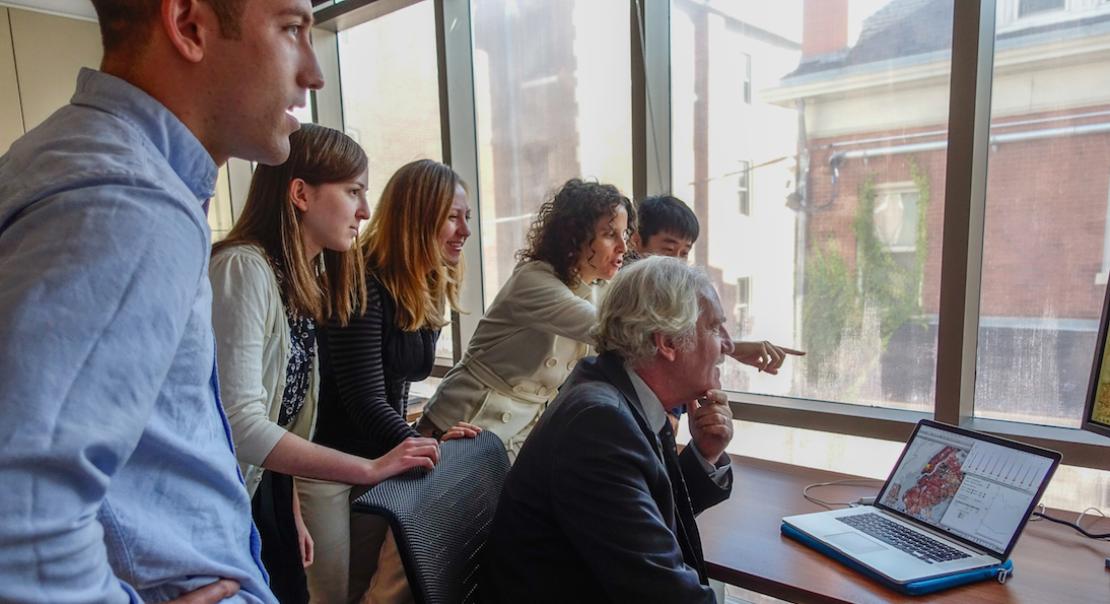
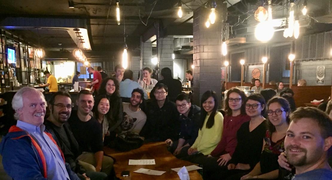
CSDS Photos